
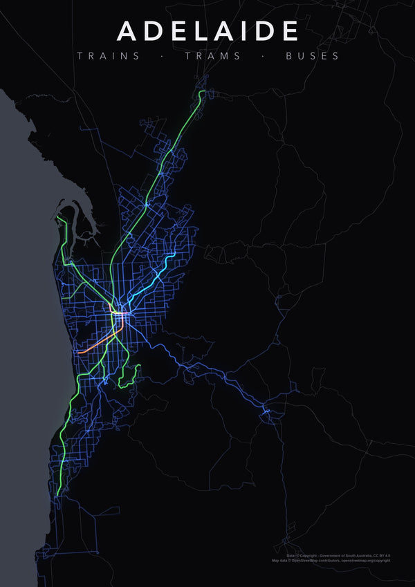
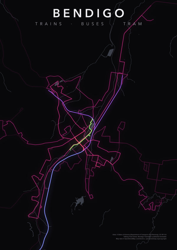
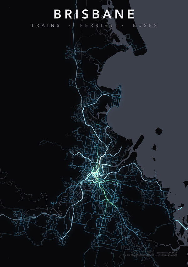
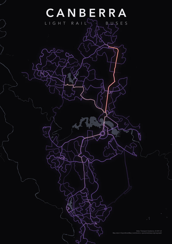
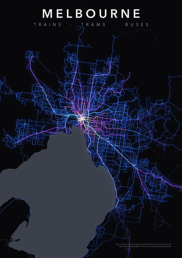
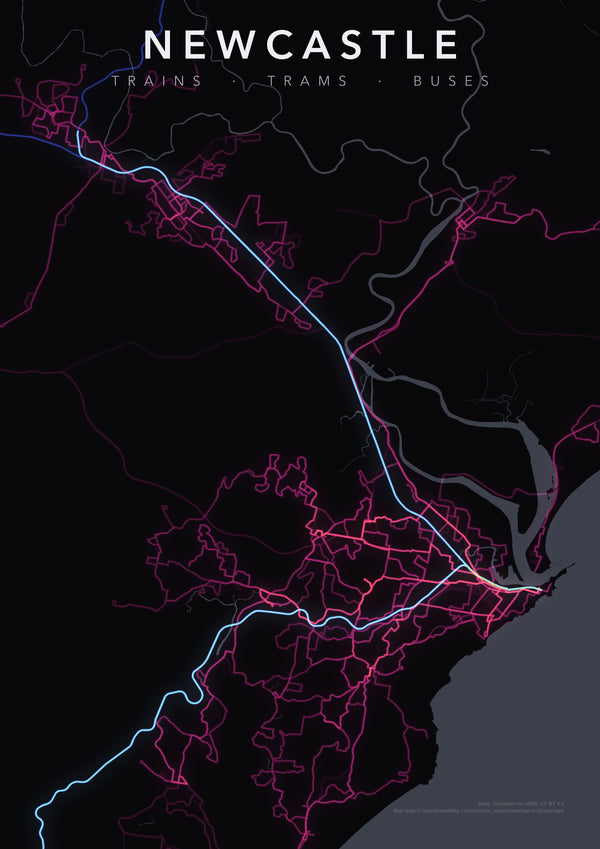
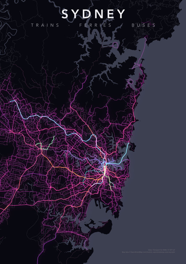
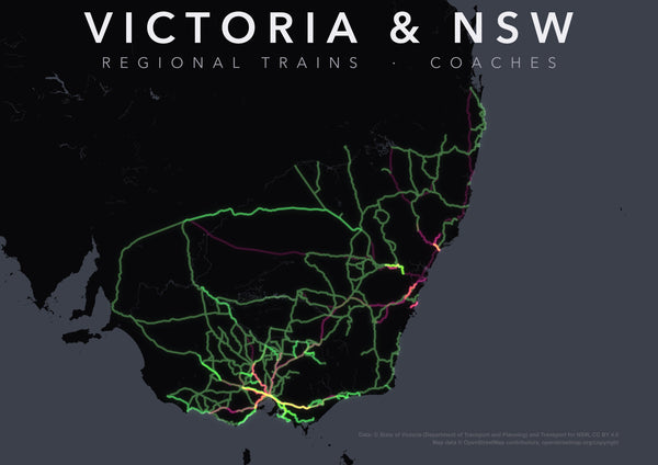
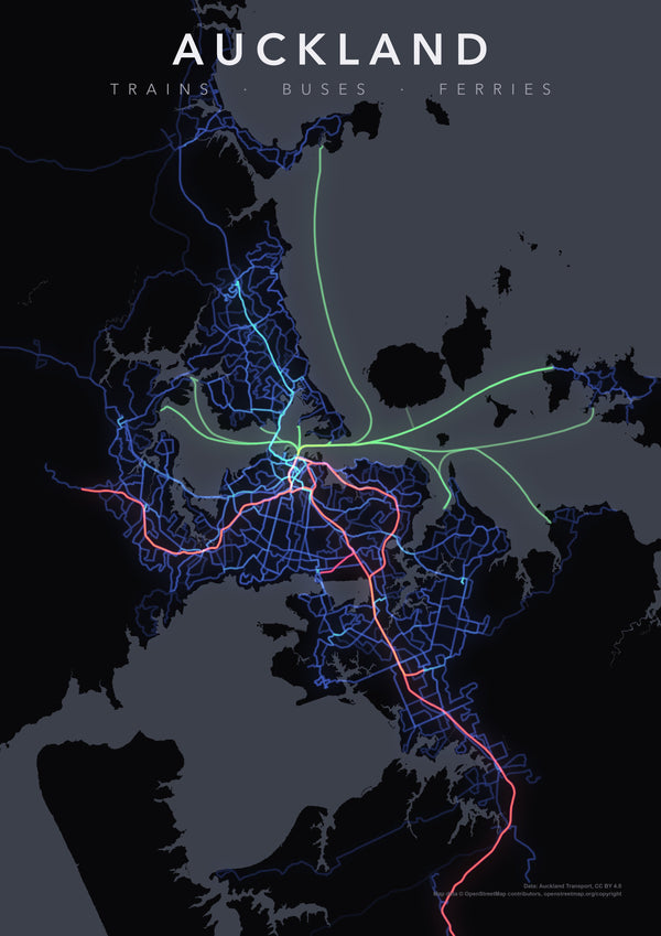
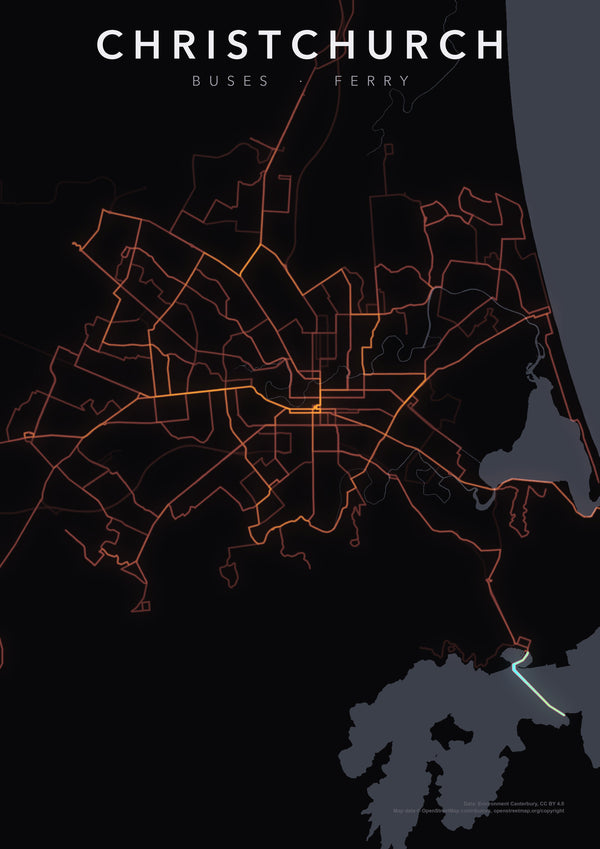
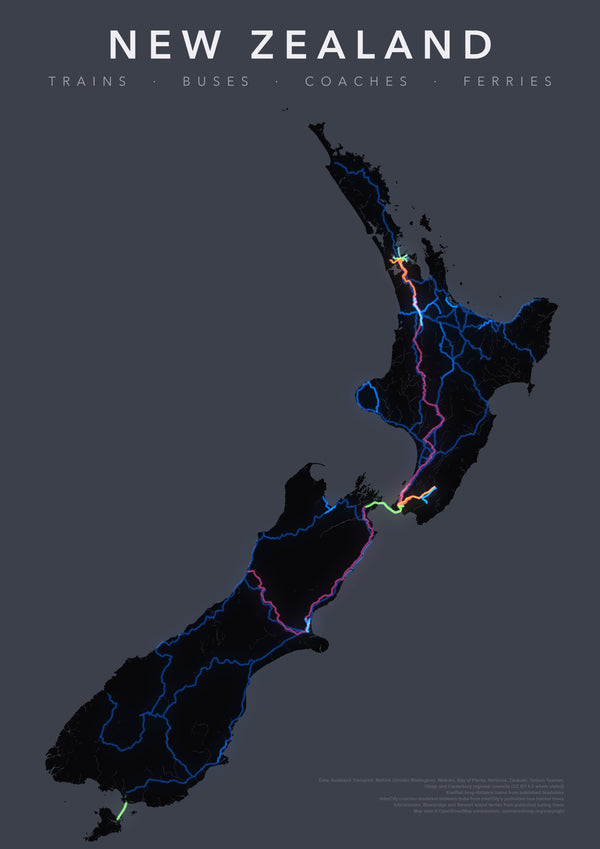
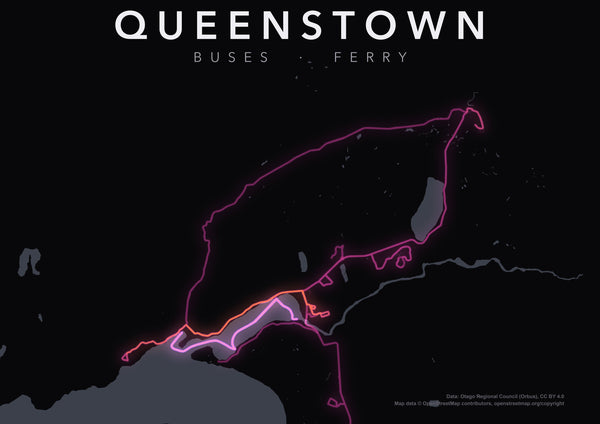
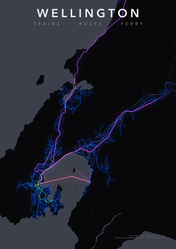
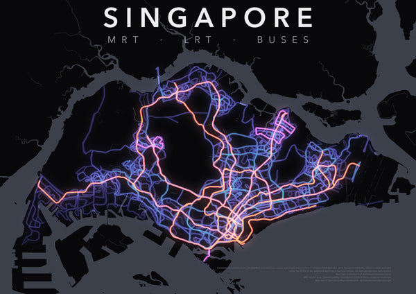
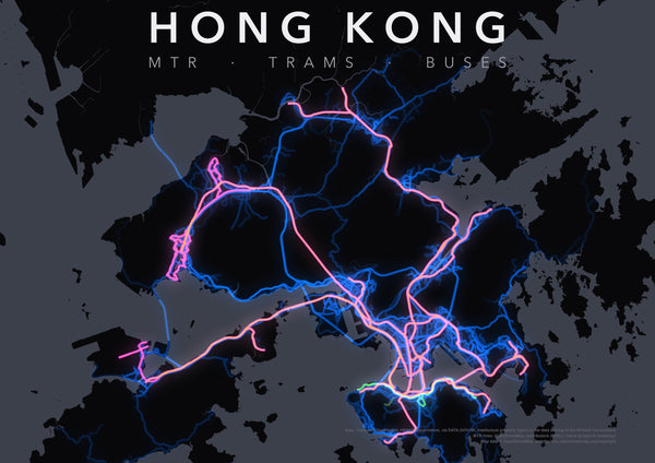
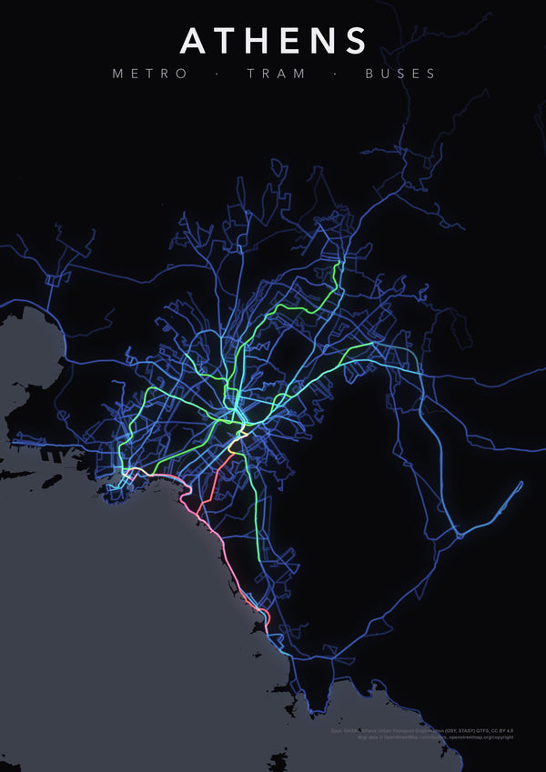
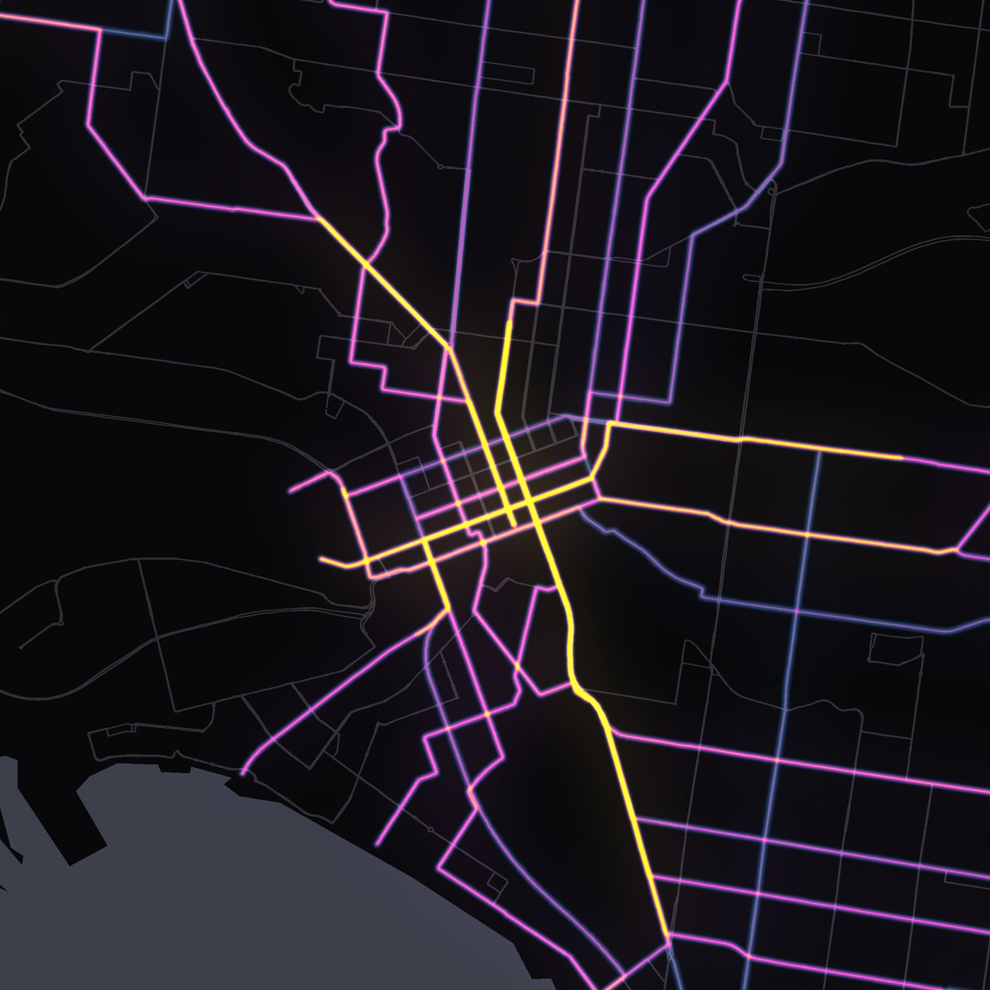
Every train, tram, bus and ferry. One day. One map.
 Posters
 Posters
 Posters
 Posters
 Posters
 Posters
 Posters
 Posters
 Posters
 Posters
 Posters
 Posters
 Posters
 Posters
 Posters
 Posters
 Posters
 Posters
 Posters
 Posters
 Posters
 Posters
 Posters
 Posters
 Posters
 Posters
 Posters
 Posters
 Posters
 Posters
 Posters
 Posters
 Posters
 Posters
 Posters
 Posters
 Posters
 Posters
 Posters
 Posters
 Posters
 Posters
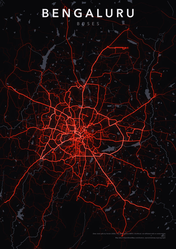 Posters
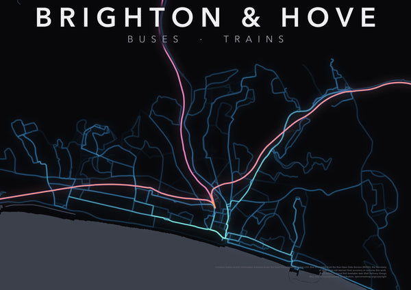 Posters
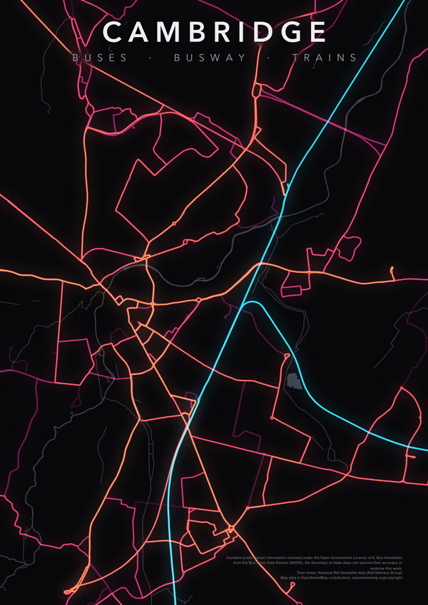 Posters
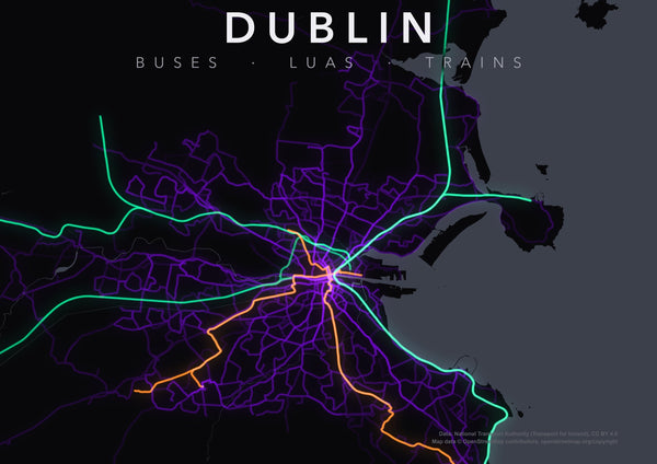 Posters
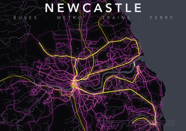 Posters
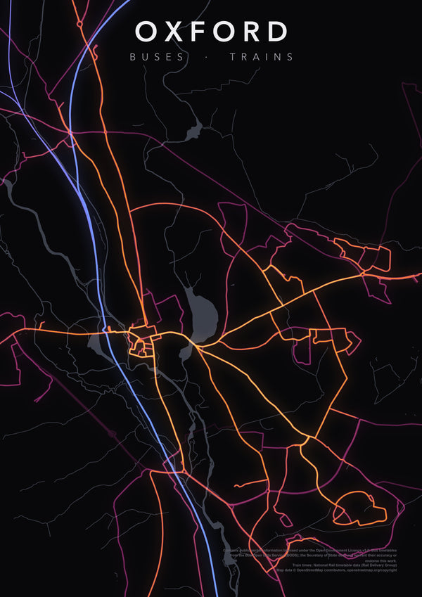 Posters
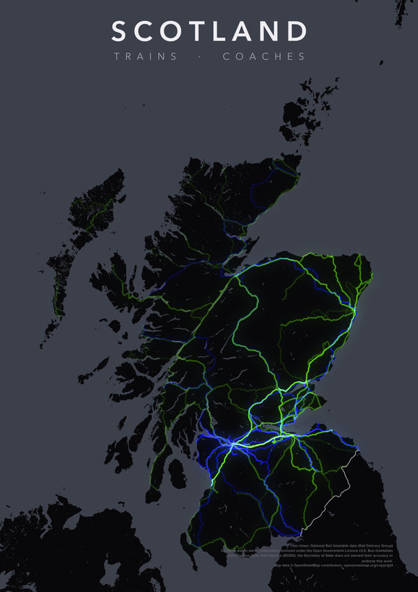 Posters
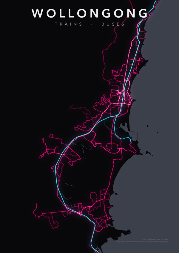 Posters


No city matches that yet — suggest it below and we'll map it.
Made from real data.
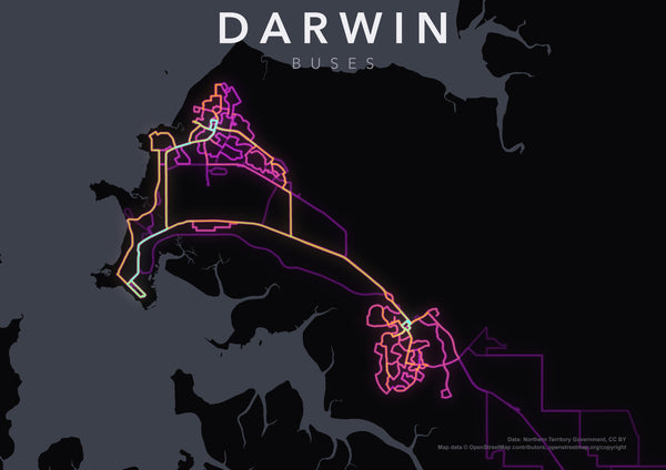
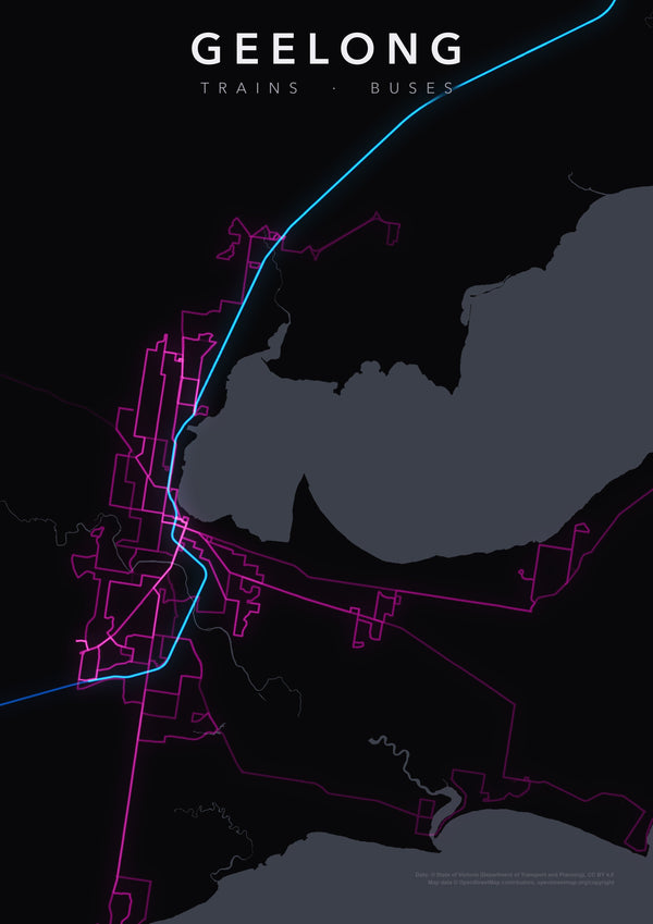
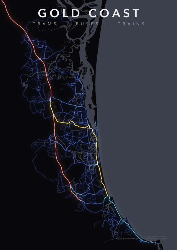
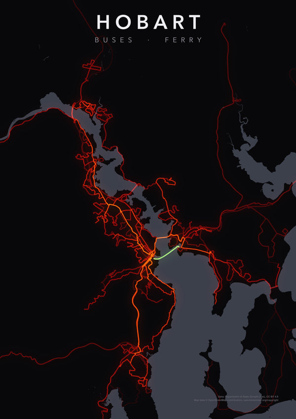
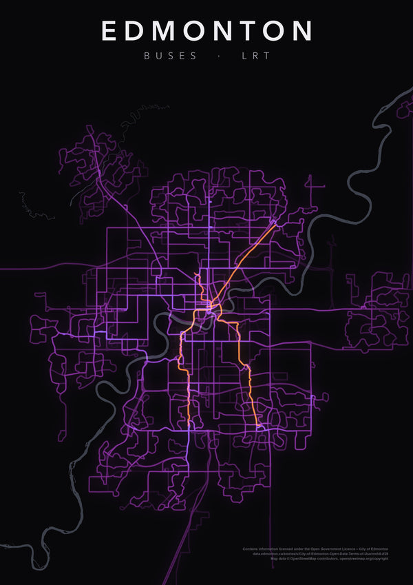
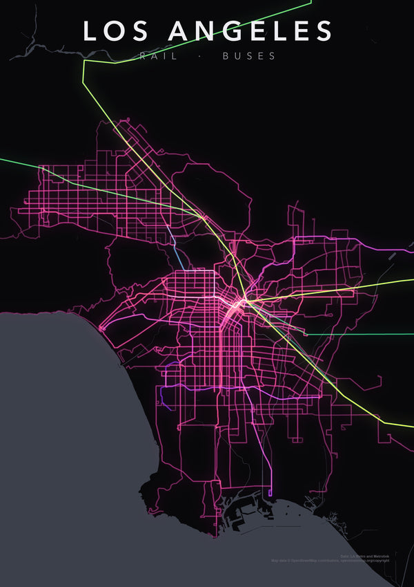
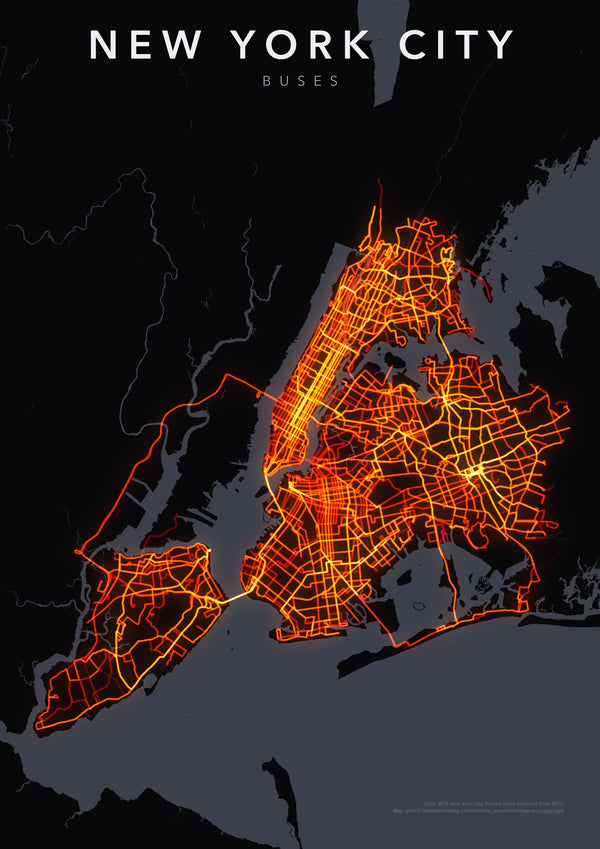
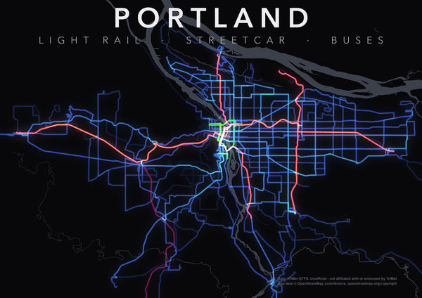
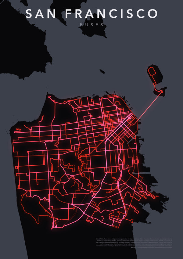
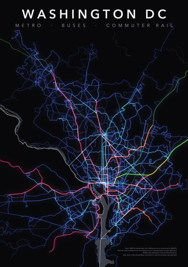
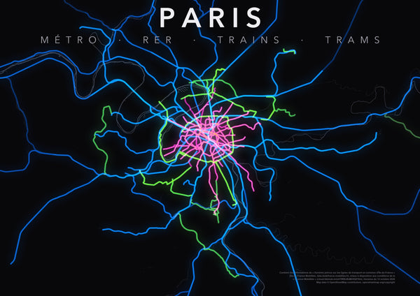
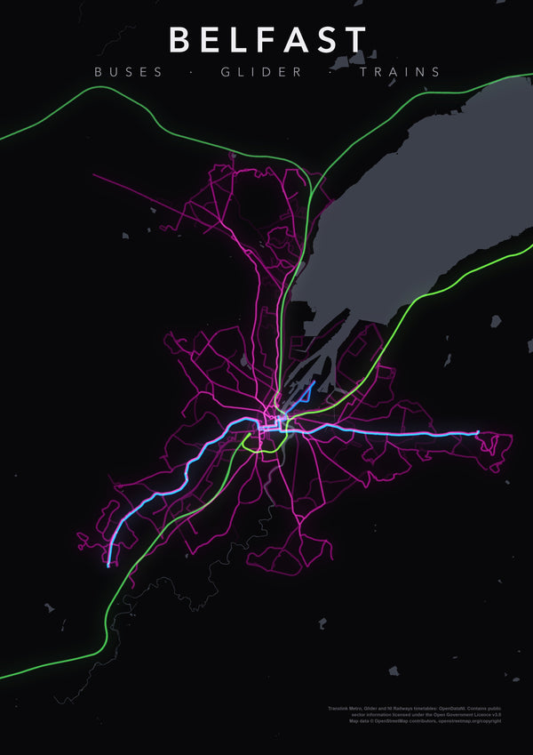
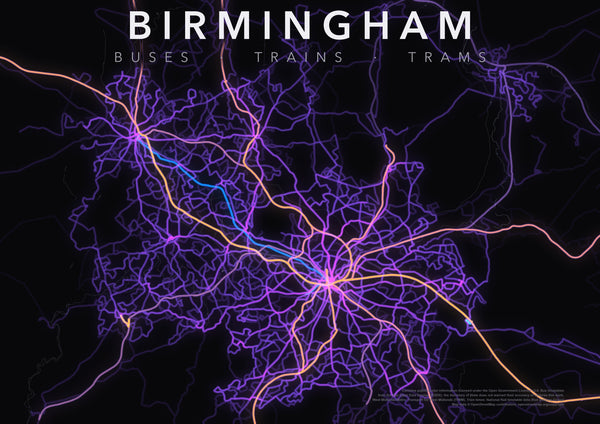
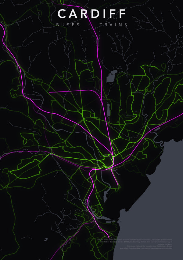
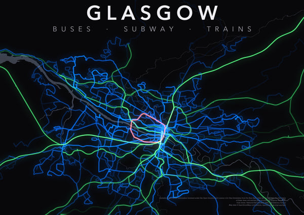
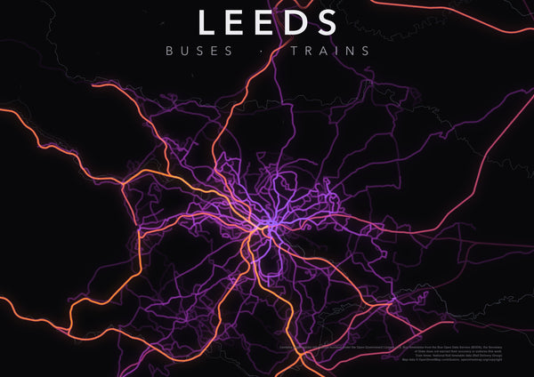
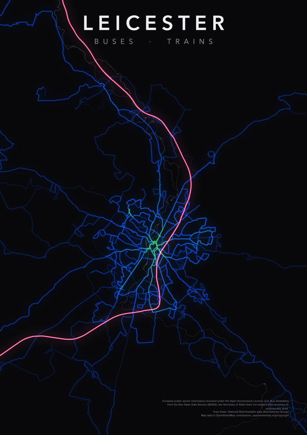
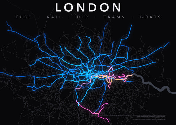
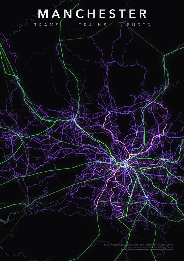
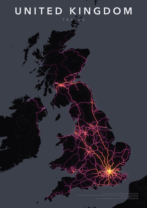
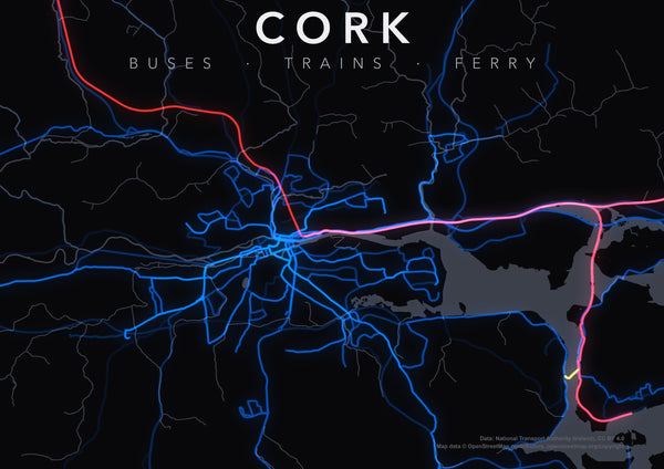
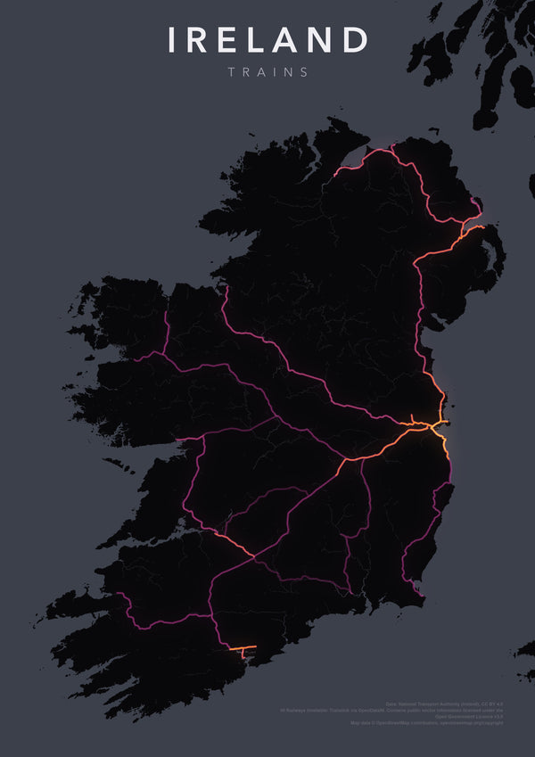
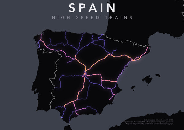
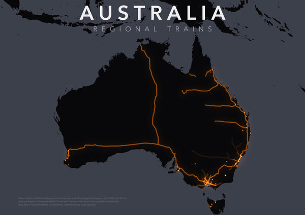
Our transit prints are drawn from each city's official open timetable data, with every route weighted by how often it runs, so the brightest lines are the busiest corridors. Our traffic prints of Melbourne and Los Angeles light every road by a full day of real traffic counts.
Every design is A2 at 300 dpi.
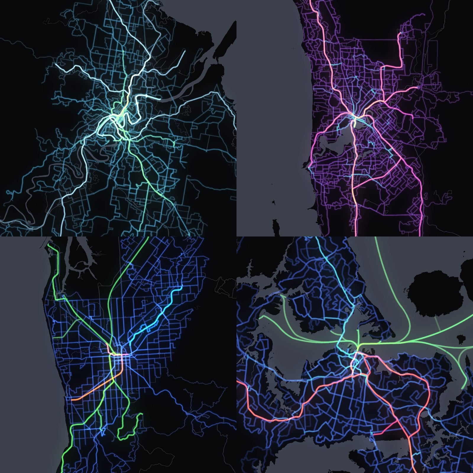
37 prints, 18 cities, more coming soon
Sydney, Melbourne, Brisbane, Perth, Adelaide, Hobart and Auckland. Pick a single mode (trains, trams, buses or ferries) or the whole network on one sheet. Follow along on Instagram and TikTok to see which city lands next.